
Nicaragua
Short description
September–November in Nicaragua: the tail of the rains and the noise of Independence
September in Nicaragua still carries heavy, tropical downpours along much of the country, and by November the Pacific lowlands begin to see fewer afternoons of rain while the Caribbean coast stays wet longer.
How the country feels on the ground
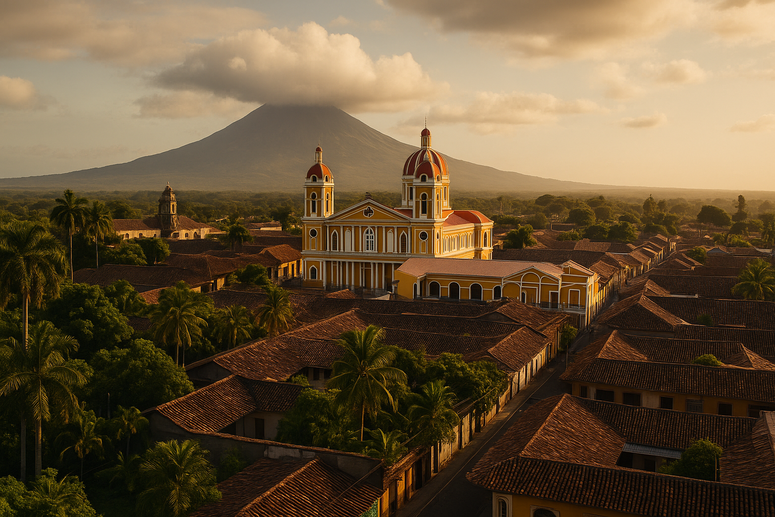
People travel between compact colonial cities, lakes and volcanoes, but the geography divides rhythms: Managua and the Pacific towns move faster, the interior highlands cool a little with altitude, and the Mosquito Coast keeps a gentler, sea-driven tempo. Expect streets near markets to be lively early, then quiet during the wettest hours; dirt tracks in rural areas get soft and slow after a storm, altering plans for island or farm visits.
Getting around Nicaragua in autumn
Distances are modest on a map, yet journeys take longer than they appear because two-lane highways curve around volcanic slopes and seasonal drains appear after heavy rains. Intercity buses and private shuttles are the usual options; in towns you’ll see pickup colectivo services and the brightly painted former US school buses people call chicken buses. Credit cards work in bigger hotels and restaurants but bring córdobas for markets, buses and smaller eateries. Mobile data is inexpensive from local providers and usually fine in cities, but expect gaps on the Caribbean coast and up in the coffee micro-regions.
Daily manners and what surprises visitors
Nicaraguan Spanish uses vos commonly, and people often address elders or acquaintances with don or doña; attempting that formality will be noticed and appreciated. Meals follow predictable patterns: hearty gallo pinto or nacatamal for breakfast or weekend mornings, a substantial midday meal, and lighter dinners. Tip around ten percent where service isn’t already included. Expect September 15 parades and school bands in towns—Independence Day is loud, civic and widely observed. Visitors are often surprised by how polite interactions stay formal even among young people and how quickly a host will insist you share a plate before you can refuse.
Quick 5
Nicaragua
Nicaragua
Nicaragua
Nicaragua
Nicaragua
Regions

Travel Requirements
What you need to enter Nicaragua, for the passport you hold.
Places of interest
Landscapes in Nicaragua
Travel Tips