Overview
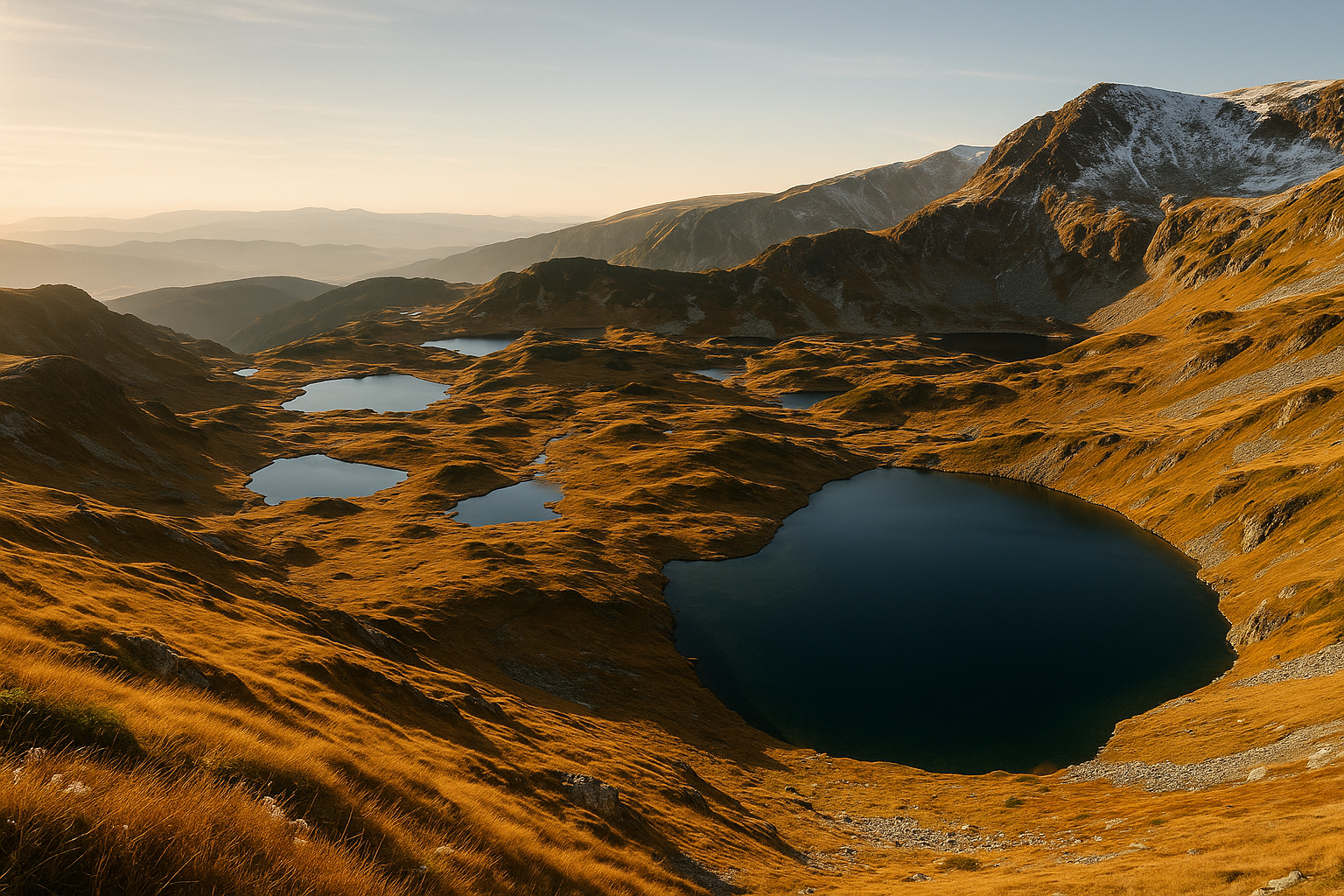
The Seven Rila Lakes are a chain of glacial tarns tucked in a high cirque beneath the Haramiyata ridge, clustered between roughly 2,100 and 2,500 metres. Hikers come for a compact, high-mountain experience: clear alpine water, steep moraine walls and a sequence of uniquely shaped basins laid out like beads on a string.
This is a mountain destination rather than a resort; the reward is landscape clarity and shifting light more than amenities. Expect well-marked trails, a basic mountain hut at the top of the chairlift, and seasonally heavy visitor flows on fine summer days.
<strong>Okoto — "The Eye" — is a nearly perfect blue circle and the deepest of the seven glacial bowls, mirroring the Haramiyata ridge above.</strong>
What You'll See
The lakes run from highest to lowest: Salzata (The Tear) — a small, bright pool like a drop beneath steep rock; Okoto (The Eye) — almost perfectly round and intensely blue; Babreka (The Kidney) — curved and sheltered; Bliznaka (The Twin) — two basins separated by a narrow ridge; Trilistnika — a shallower, irregularly lobed lake; Ribnoto (The Fish) — elongated, set in a grassy hollow; and Dolnoto — the lowest, gentler and peatier in tone.
From different viewpoints each lake changes character: Okoto holds a glassy, deep blue at midday, Bliznaka glitters when the sun hits both basins, while the lower pools pick up meadow reflections. Rocks, scree and pockets of alpine grass frame the sequence rather than trees.
Things to Do
Getting There
Most visitors approach from Sapareva Banya or from Panichishte. From Panichishte a seasonal chairlift climbs toward the Rilski Ezera hut — the usual start for the loop — shortening the ascent. When the lift is closed you begin on foot from the Panichishte parking area; the trail to the hut is a steady uphill walk of a couple of hours depending on fitness.
The walking loop that visits all seven lakes from the hut is a day hike for fit walkers: expect several hours on uneven, sometimes steep terrain. Trail signage is generally good, but poor weather makes navigation slower.
Seasonal Variations and Best Time
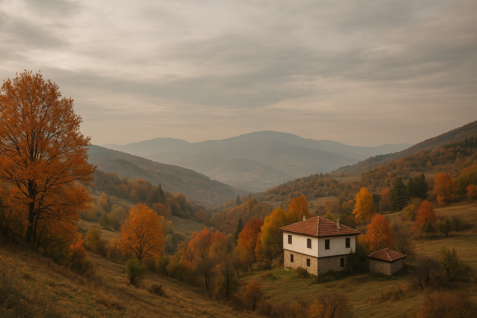
Seasons reshape access and scenery. Snow commonly lingers into June; many high sections remain snowbound and the chairlift may not run. July blooms with dense carpets of alpine wildflowers; August brings the warmest weather and the local Paneurhythmy gatherings (followers of the Universal White Brotherhood hold commemorative exercises near the lakes around 19 August). Autumn turns the slopes golden and crisp, a quieter and photogenic time. Winters are harsh — lifts closed, avalanche risk and trails unsafe.
Weekends in summer are busiest; early morning for sunrise or late afternoon for softer light will give you more solitude and better photographs.