Guatemala

Guatemala

Short description
Quick 5
Regions
Travel Requirements
Places of interest
Landscapes in Guatemala
Travel Tips
Hotels
Articles

Short description

How Guatemala feels in the body

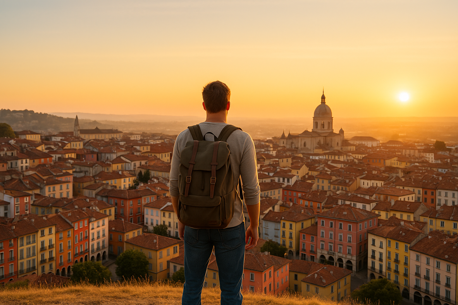
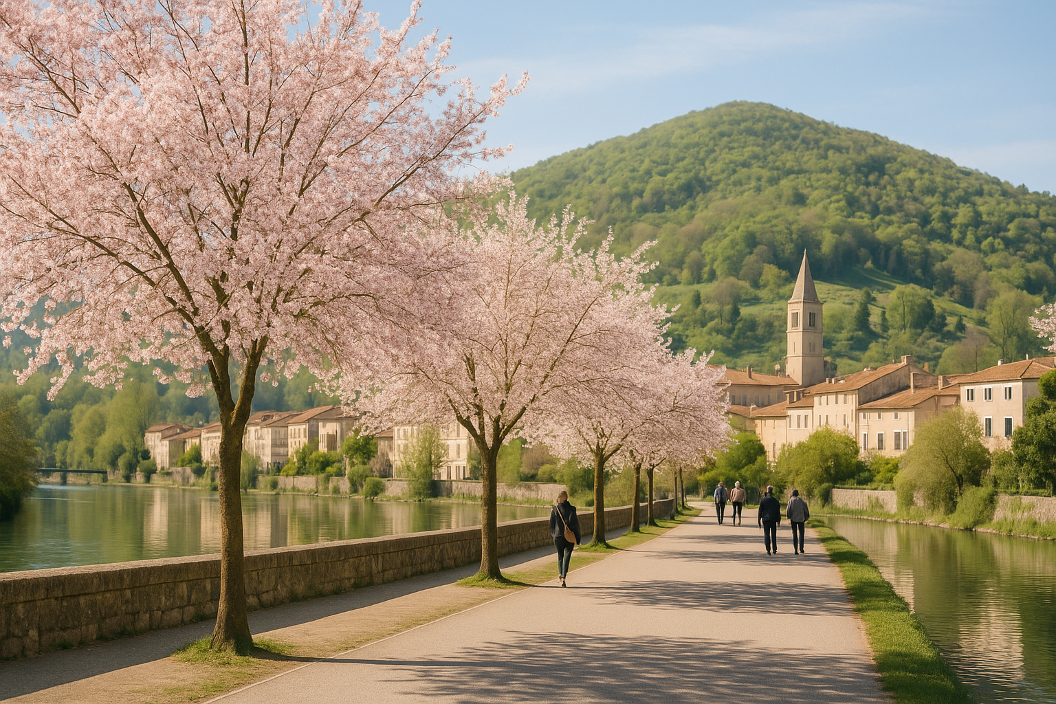
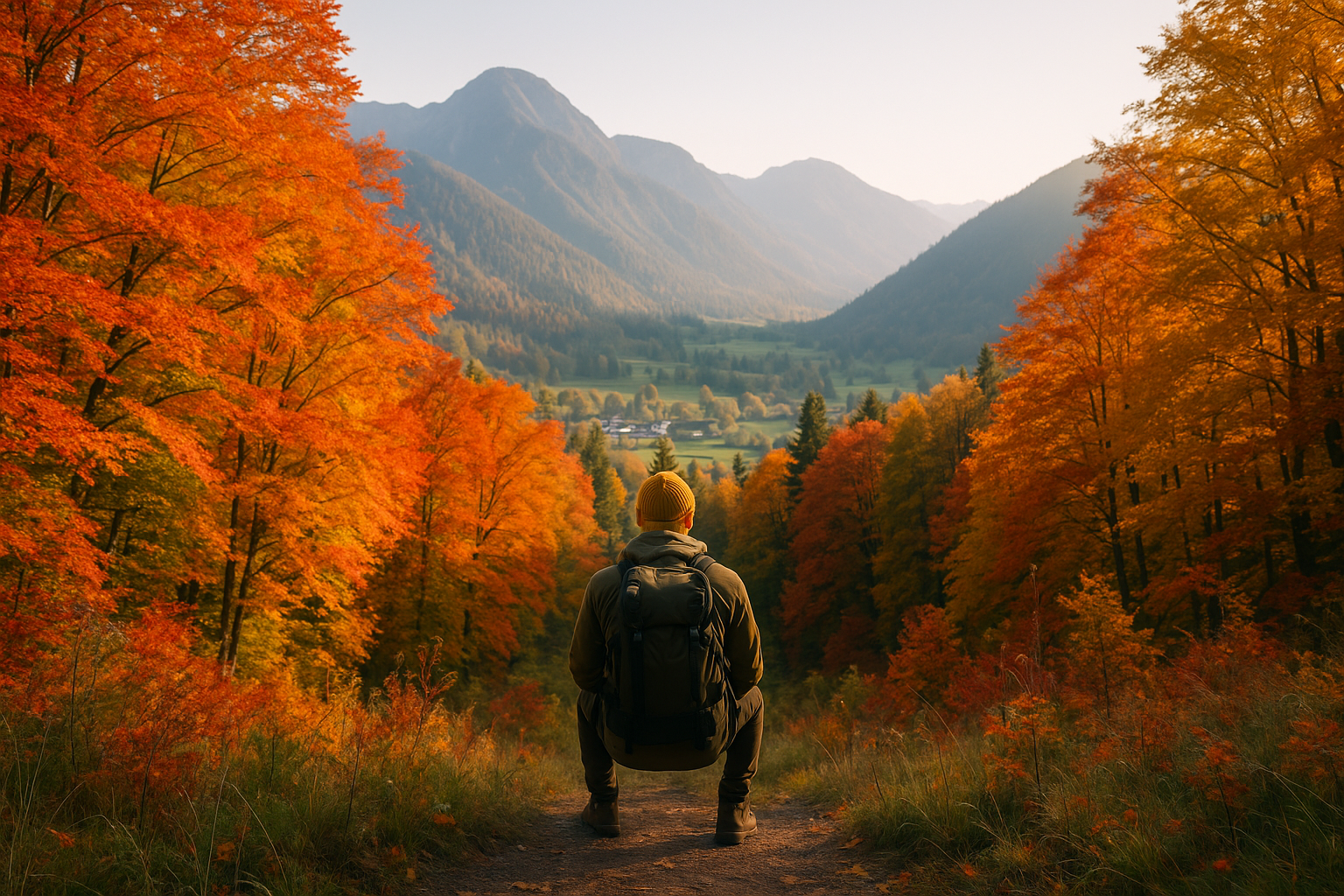
From September into November the country shifts out of the heavy wet season: afternoon storms thin toward clearer skies, mornings in the highlands arrive with steam over fields, and volcano slopes dry enough for farmers to move equipment. Guatemala’s scale is quick to reveal itself—two-hour drives can climb from banana plantations to pine forests, and towns in the Western Highlands feel like a different country from the coastal lowlands within the same day.

Autumn here: more than weather

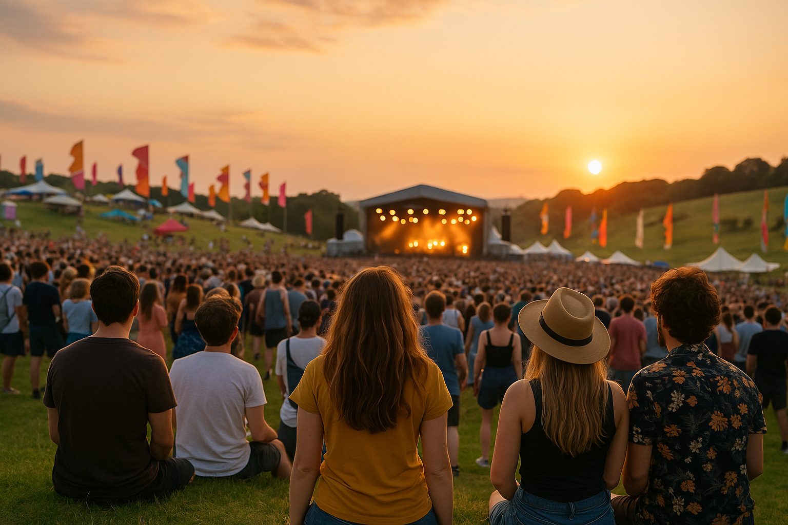
September is loud: neighbourhood parades, bands and fireworks mark the country’s Independence Day on the 15th, and you’ll see towns still stringing up papel picado. Late October and early November bring the giantkites and cemetery vigils around All Saints and All Souls in places like Sumpango and Santiago Sacatepéquez, when families repaint graves and large, colourful kites are flown to honour the dead—an event that reshapes normal market rhythms and fills roads with extra traffic.

Getting around, paying and connecting

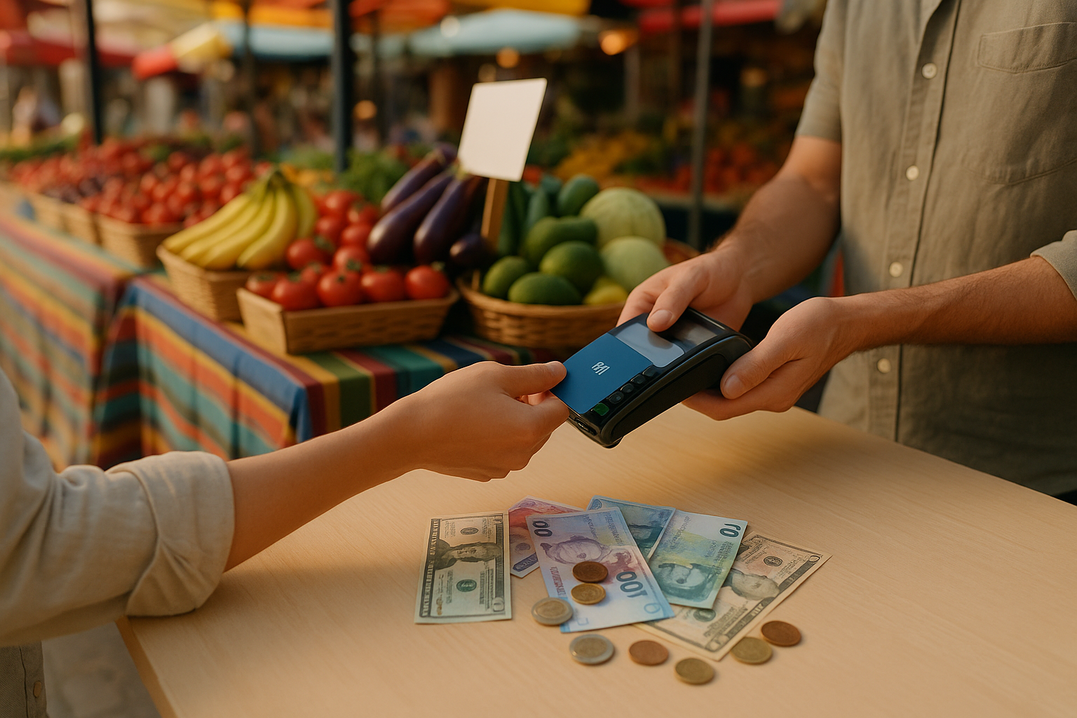
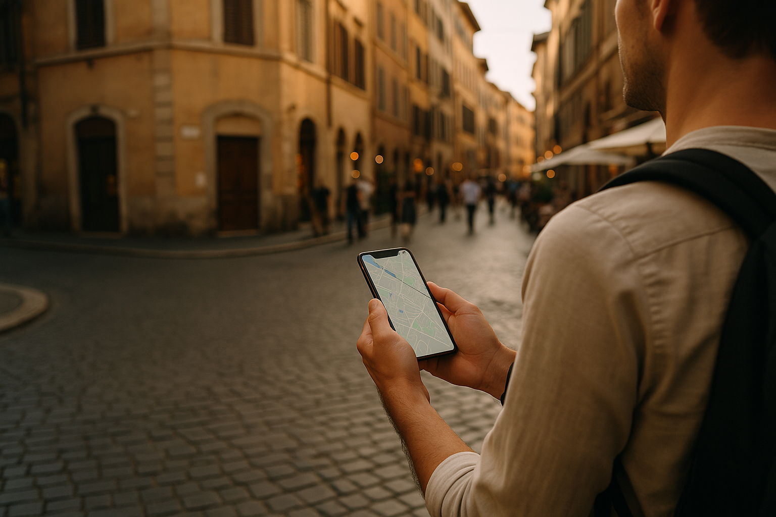
Distances on the map understate travel time because most routes climb volcanic ridges; budget extra time for slow, curving mountain roads and the occasional agricultural convoy. In cities and tourist corridors credit cards and contactless payments work well, but street stalls, market vendors and many village colectivos expect Quetzales in cash; ATMs are common in towns but scarcer in rural highland villages. Public transport ranges from private shuttle vans between popular towns to the famously painted local buses; drivers rarely use meters and bargaining or agreed fares are normal outside formal taxi apps. Mobile coverage is solid in lowlands and urban areas, patchier above 1,800 metres.

Daily customs you’ll notice

Spanish is the lingua franca, but dozens of Mayan languages—K’iche’, Kaqchikel, Mam, Q’eqchi’—are the primary speech in many highland communities; a few words of Spanish will help, and speaking slowly is appreciated. In markets women in handwoven huipiles often identify their town by pattern; it’s polite to ask before photographing. Meals are social and unhurried: expect shared plates, tortillas at every table and invitations to taste a home-cooked stew; leaving a small tip at modest restaurants and rounding up taxi fares are common courtesies.

Quick 5

01

Guatemala

Top Places
Tikal Ruins
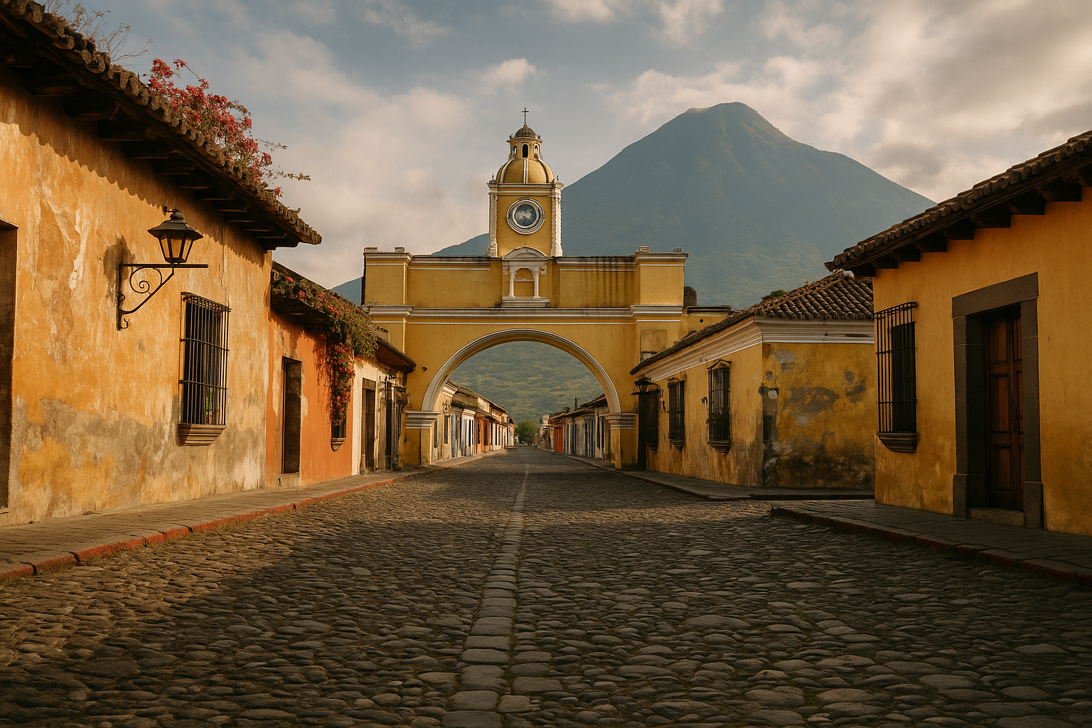
Antigua Guatemala
Atitlán Volcano
Semuc Champey
Cayalá Shopping District
Top Activities
Hike in Pacaya Volcano
Explore Lake Atitlán by boat
Visit colonial towns
Attend local fall festivals
Tour traditional markets
02

Guatemala

Top Places
Lake Atitlán
Museo Popol Vuh
Antigua Guatemala
Tikal Ruins
Pacaya Volcano Hike
Top Activities
Coffee Plantation Tour
Volcano Trekking
Guatemala Independence Day
Market Shopping
Lake Kayaking
03

Guatemala

Top Places
Quiriguá Archaeological Site
Atitlán Volcano
Antigua Guatemala
Pacaya Volcano Lava Fields
Santo Tomás Church
Top Activities
Coffee Farm Tours
Explore Antigua Streets
Hike Volcanoes
Birdwatching in Lago Atitlán
Lake Kayaking
04

Guatemala

Top Places
Antigua Guatemala
Pacaya Volcano
Lake Atitlán
Tikal Ruins
Chichicastenango Market
Top Activities
Volcano Hiking Tours
Coffee Plantation Tours
Bird Watching at Lake
Mountain Biking
Canoe on Lake Atitlán
05

Guatemala

Top Places
Tikal Ruins
Guatemala City Historic Center
Lake Atitlán Viewpoints
Semuc Champey Natural Pools
Antigua Streets
Top Activities
Hike Volcano Pacaya
Explore Cobán Caves
Visit Indigenous Market in Chichicastenango
Lake Atitlán Boat Tour
Guatemala International Jazz Festival

Regions

Sorry, we have no imagery here.
Google
Map data ©2026 Google, INEGI
0 regions
Nothing is here!

Travel Requirements

What you need to enter Guatemala, for the passport you hold.

Or start from your passport

Places of interest

Nothing here yetMuseums, castles and viewpoints appear here as they are added for Guatemala.

Landscapes in Guatemala

No landscapes for this country yet

Travel Tips
Autumn travel

Autumn travel

Beach holidays

Beach holidays

Beating jet lag

Beating jet lag

Biking trip

Biking trip

Camping

Camping

Christmas markets

Christmas markets

Food and wine travel

Food and wine travel

Hiking in Alps

Hiking in Alps

Kayaking, SUP and rafting

Kayaking, SUP and rafting

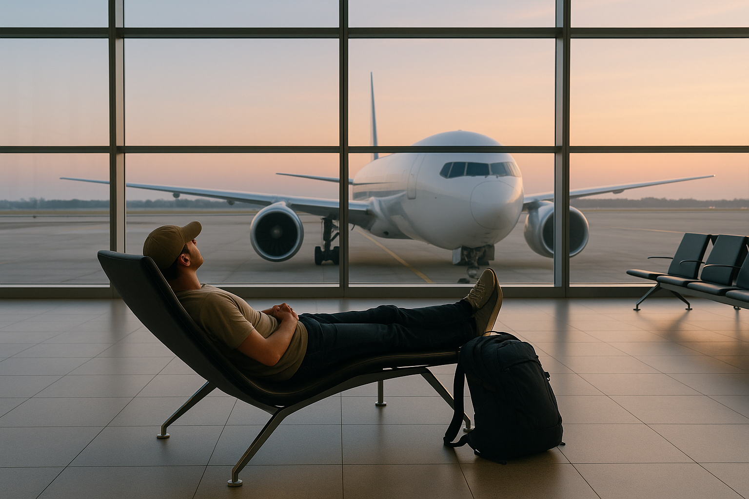
Long layovers

Long layovers

Money abroad

Money abroad

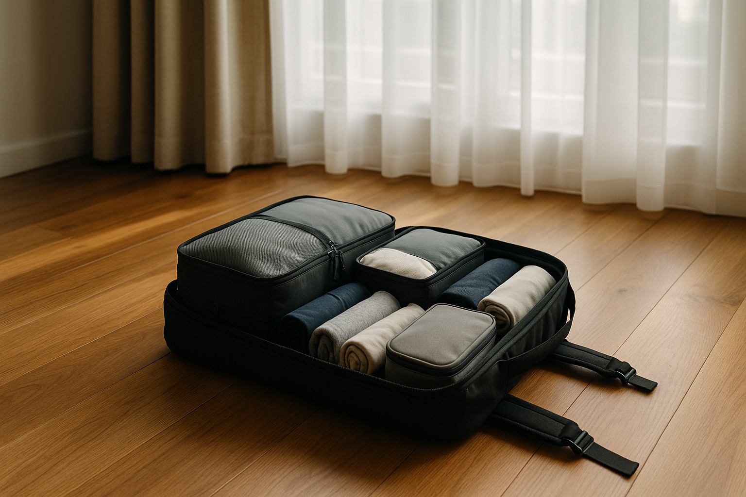
Packing light: carry-on only

Packing light: carry-on only

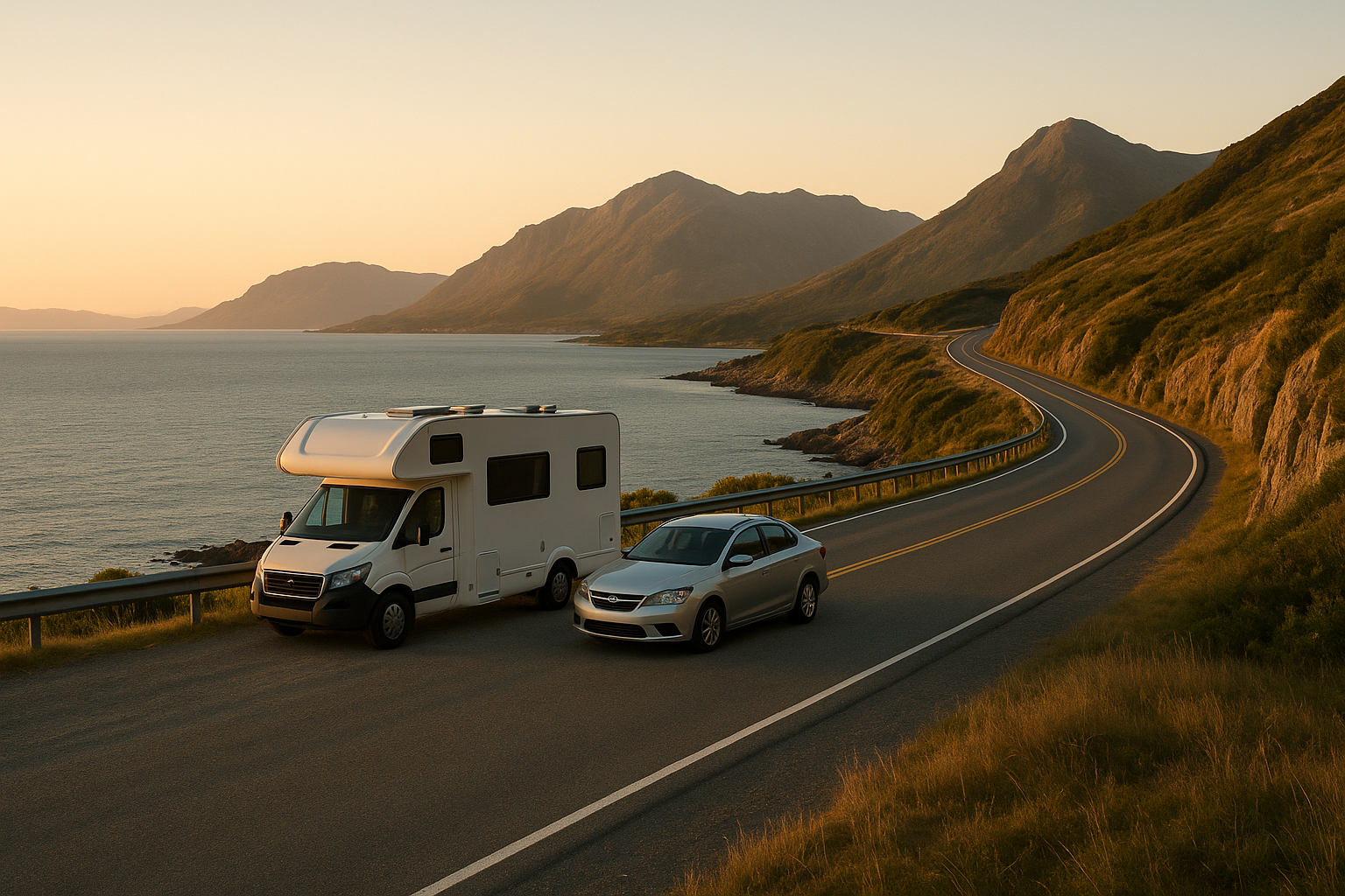
Road trips

Road trips

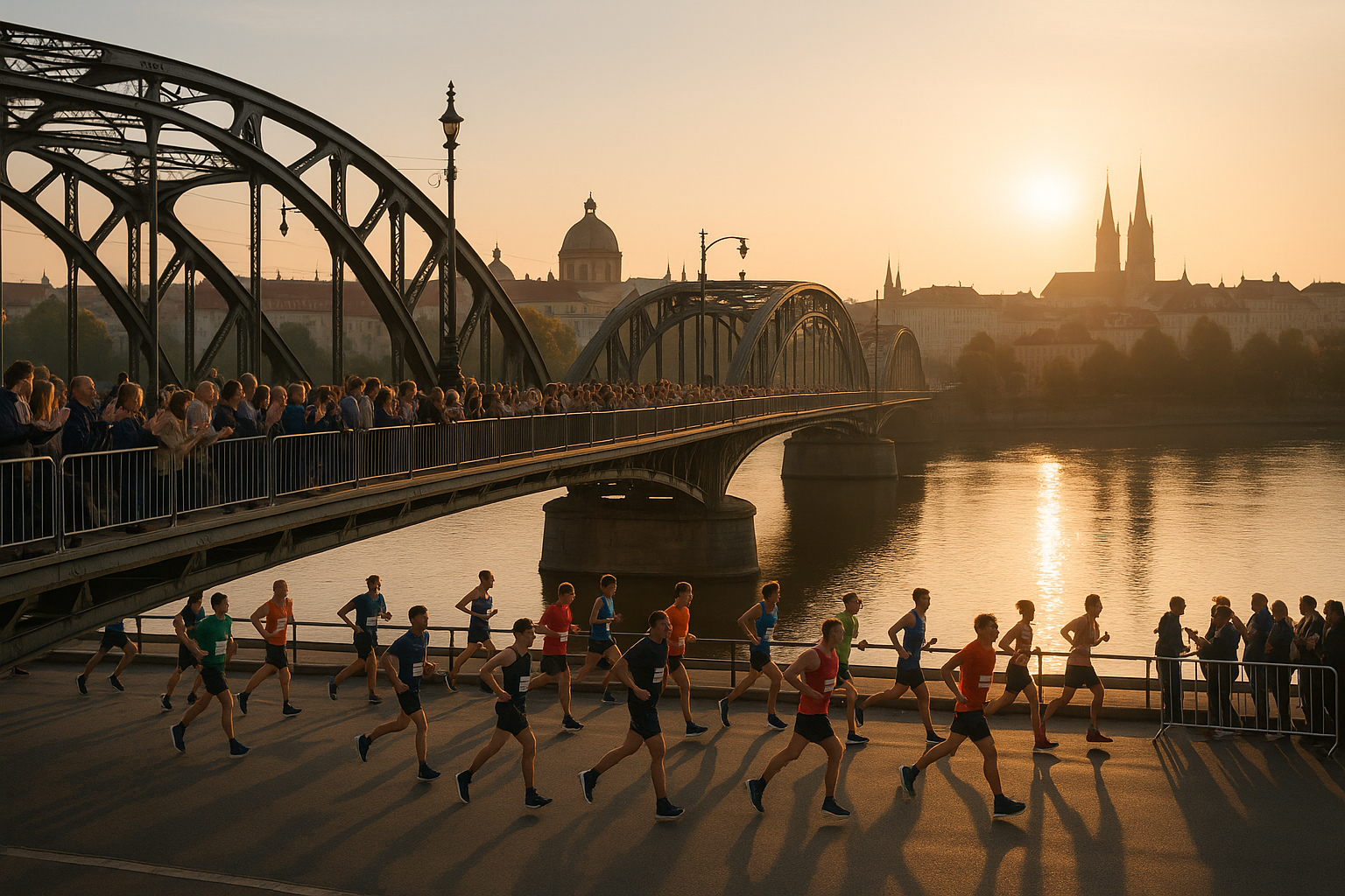
Running races abroad

Running races abroad

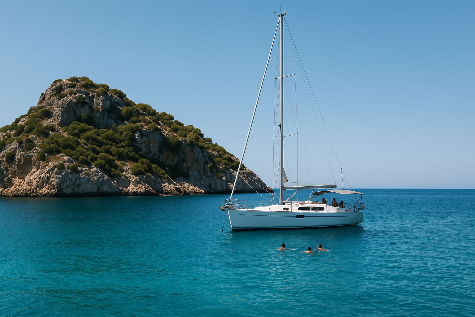
Sailing and boat trips

Sailing and boat trips

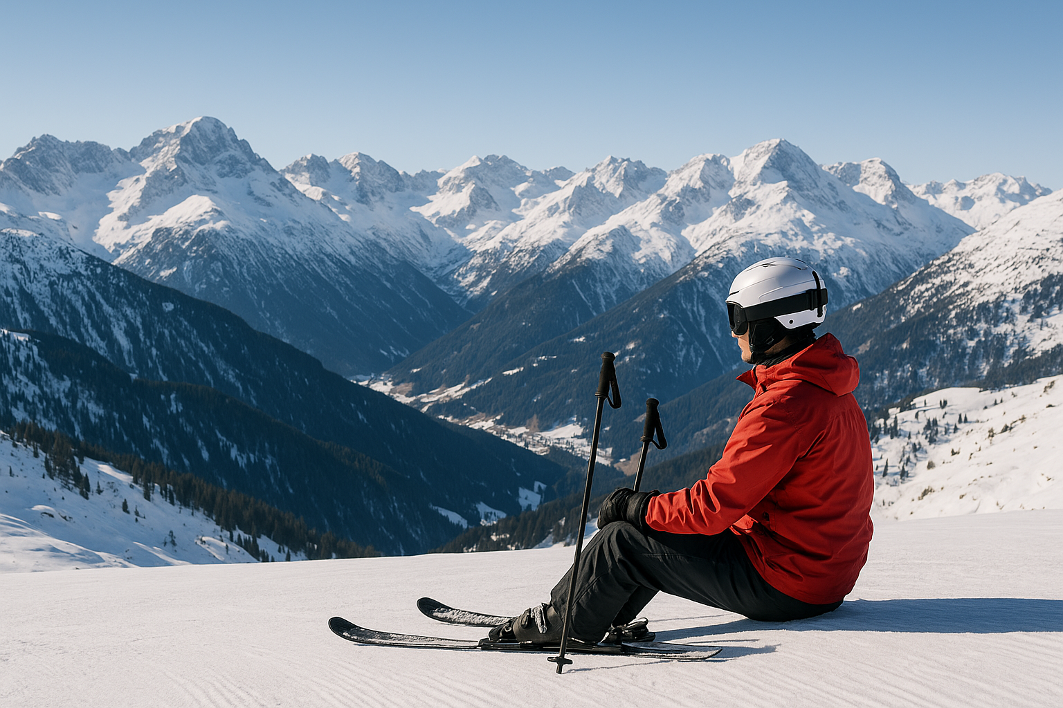
Skiing in Alps

Skiing in Alps

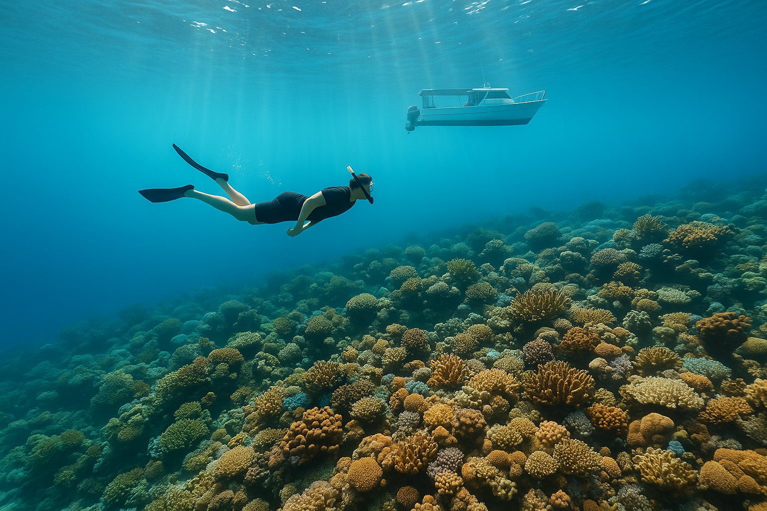
Snorkeling and scuba diving

Snorkeling and scuba diving

Solo travel

Solo travel

Spring travel

Spring travel

Staying connected abroad

Staying connected abroad

Summer festivals and events

Summer festivals and events

Surf trips

Surf trips

Train travel

Train travel

Travel insurance

Travel insurance

Travelling with a dog

Travelling with a dog

Travelling with kids

Travelling with kids

Via ferrata and climbing trips

Via ferrata and climbing trips

Weekend city breaks

Weekend city breaks

Wildlife watching and safaris

Wildlife watching and safaris

Winter sun escapes

Winter sun escapes

Hotels

No hotels for this country yet

Articles

No articles for this country yet
BESbswy