Overview
Pirin National Park (south‑west Bulgaria) is a high mountain and forest landscape carved from marble and granite, protected as a UNESCO World Heritage Site. Sharp ridges, more than a hundred glacial lakes and cirques, and contrasting dark pine forests make it an immediately dramatic place above the ski town of Bansko.
At its core are Vihren (2,914 m), Bulgaria’s second‑highest peak, and the exposed Koncheto knife‑edge ridge; lower slopes hold old Bosnian and Macedonian pine stands and ancient solitary trees such as the Baykusheva mura.
The park is home to the Baykusheva mura—<strong>Baikushev's pine</strong>, a candelabra‑shaped Bosnian pine estimated at about 1,300 years old and visible from the main Vihren approaches.
What You'll See
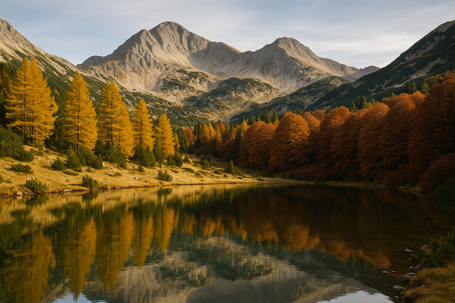
The range alternates hard, white marble faces with softer granite domes. In bright sun the ridges pick out fine, razor edges; after storms they glisten wet and dark. More than a hundred glacial lakes sit like mirrors in bowls below the peaks; some are ringed by dwarf pines, others by alpine meadows that burst with summer blooms.
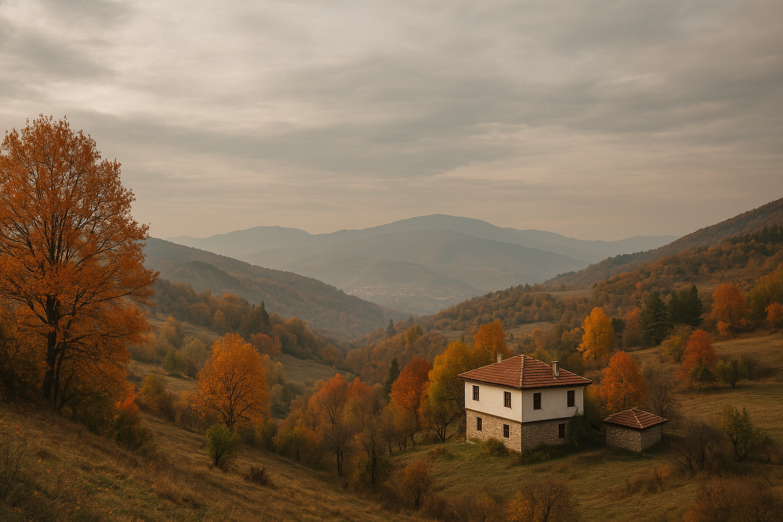
Colours change fast through the year: late snow can cling into June, summer brings carpets of endemic flowers including the Pirin poppy, autumn turns the forests copper and gold, and winter locks the high places into ice and snow while nearby Bansko hums with skiers.
Things to Do
Getting There
Most visitors approach Pirin from Bansko. From town you can drive a short distance up valley roads to trailheads; a rough road continues to the area of the Vihren hut, where parking and marked starts are available. From the huts the classic high routes are reached on well‑marked paths that turn alpine—expect a few hours of walking to reach the main ridges.
Trails are maintained but can be rocky and steep. In poor weather the Vihren hut road and higher tracks become slow; allow extra time and check local hutkeepers for conditions before heading up.
Season and Wildlife
Wildlife includes chamois in the high crags and, more rarely, brown bear and wolf in the forested valleys; keep distance and respect habitat. Afternoon thunderstorms are common in summer—start early and be off exposed ridges by midday when storms build.
Best windows are late June to September for high‑alpine walking (watch for lingering snow early in the season), October for crisp autumn colours, and winter for skiing in nearby resorts rather than high trails.